


Current Conditions And Forecasts
Tampa Bay

Southwest Florida

Orlando

Miami

Jacksonville

Tallahassee

North Florida

Pensacola

Today

Tomorrow

Winds

Heat Index

-
 Sandra Averhart/WUWF Public MediaWUWF's Sandra Averhart spent some time in Santa Rosa County in the aftermath of Hurricane Isaias speaking to residents about how the storm impacted them and how they're recovering thus far.
 -
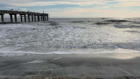 St. Johns County Marine RescueA flow off the Atlantic over the weekend and next week will lead to erosion, rough surf and the potential for flooding along the coast and nearby tributaries.


-
 By watching the clouds, they can help predict changes in the weather. Cirrus clouds often indicate a change in the weather is coming while cumulonimbus clouds indicate storms.
 -
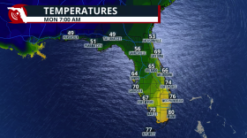 A cold front brings cooler air, lower humidity and gusty winds. Highs could settle into the upper 70s and lower 80s, with overnight temp into the 60s. But the biggest difference may be how the air feels.
 -
 Anna Maria Island Turtle Watchers reported 17,609 hatchlings this season, compared to nearly 30,000 last year.
 -
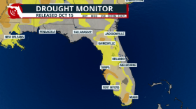 Florida is on track to reduce the drought as we finish the rainy season this month.
 -
 While some schools in the path of Isaias are starting to reopen, the state's top education official says others will wait until next week.
 -
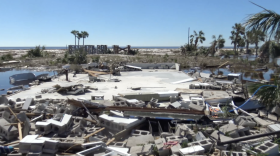 Hurricane Isaias brought the first hurricane strike to parts of Florida's central and eastern Panhandle since Michael in 2018. Eight years later, changes to North Florida's building standards are part of Michael's lasting legacy.
 -
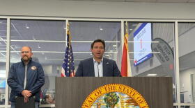 Local emergency personnel are working to clear smaller local roads and remove debris from residential areas. Meanwhile, Gov. Ron DeSantis confirmed Isaias led to six deaths in the state.
 -
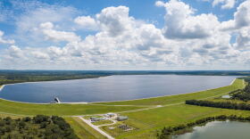 In addition to rain, river flows have picked up since late August. The reservoir that serves Hillsborough, Pinellas and Pasco counties is about 72% full.
 -
 UWF President Manny Diaz says campus buildings largely escaped hurricane damage, but power outages and fallen trees are delaying reopening. Homecoming plans remain uncertain.
 -
 Hillsborough County residents whose homes were damaged by Hurricanes Helene or Milton can get help applying for recovery assistance at two pop-up service centers this month.
 -
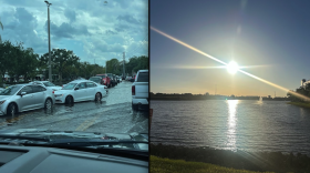 A weak cold front will lower rain chances and also bring slightly lower humidity values for much of Florida for part of this week.
 -
 The remnants of Isaias have brought heavy rain and flooding risks to parts of the central Appalachians and mid-Atlantic region. The storm, which hit Florida as a Category 2 hurricane, has caused at least four deaths.


