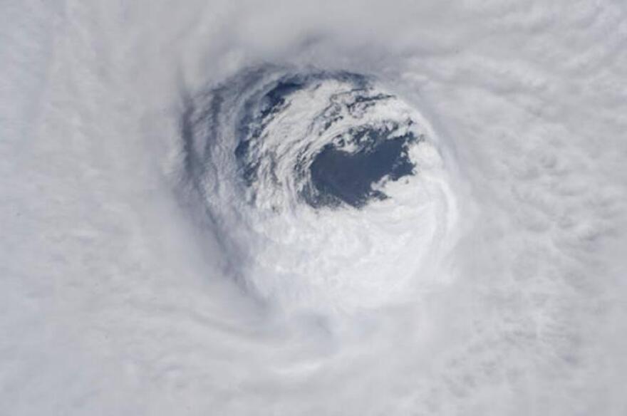
South Florida has been sizzling in recent weeks, with a slew of new record high temperatures, and a record for the number of records being smashed.
There’s something else heating up: the ocean. And that could be bad for hurricane season.
In these uncertain times, you can rely on WLRN to keep you current on local news and information. Your support is what keeps WLRN strong. Please become a member today. Donate Now. Thank you.
“What you’re looking at is high octane fuel,” said University of Miami Rosenstiel School of Marine and Atmospheric Science oceanographer Nick Shay. “There's just more sustained fuel to keep those storms going.”
Across South Florida, air temperatures are hitting digits not normally seen until May and closer to steamy June, UM researcher Brian McNoldy said. Since January, Miami has had 10 days with fuming highs above 90 degrees. Five of those days topped 93 degrees, he said.
“It's just mind-boggling to see something so out-of-whack,” he tweeted.
The hot air, however, isn’t to blame for the hot ocean. Currents set that thermostat.

And so far, those currents have been moving lots of hot water around the Atlantic, which can also influence weather patterns onshore. Shay compared sea surface temperatures and ocean heat content from April 15, 2019, to this year, and found 2020 surface temperatures higher across the Caribbean and Gulf of Mexico.
The ocean's heat content, which provides a better picture of how deep that hot water runs, was also higher.
Shay also looked at temperature and salinity in the ocean, which provides a sort of ‘heat index’ for the ocean in local areas. Those numbers were up all across the equatorial region of the Atlantic.
“That's getting into the Caribbean. And what happens in the Caribbean doesn't stay in the Caribbean. Just like what happens in the Gulf doesn't stay in the Gulf,” he said. “It makes its way in up towards the Yucatan Straits. Some of it goes north and some takes a hard right out of the Florida Straits and warms our ocean as well.”
That becomes troublesome moving into hurricane season because hot water fuels hurricanes. Atmospheric conditions must be conducive, but when ocean waters are warm, and that warmth runs deep, they can ratchet up storms to lethal force. And in the Gulf of Mexico, they inevitably make landfall.
“Somebody's going to get slammed,” Shay said. “We don't have a crystal ball about where and when this is going to occur. But when storms get over the Gulf, they normally intensify. And they normally get severe, like we saw on Michael.”

In 2005, Shay authored a study that found the Loop Current was helping feed the storms. Hurricane Michael in 2018 provided further evidence that eddies shed by the current can also fuel storms.
“They move about as fast as Miami traffic. A couple miles per hour to the south and west,” he said. “So they can linger for a while.”
A project he’s working on with the National Academies of Sciences is looking for a way to forecast the Loop Current and predict eddies to help hurricane forecasters, he said.
When Michael crossed an eddy in its path, it jumped from a Category 1 to a Cat 3 storm. In just over 24 hours, winds climbed to 150 mph as it made landfall as a Cat 5 storm in the Panhandle.
What’s driving that is the overall warming of the planet, he said.
“The globe is warming up and not just the atmosphere. The ocean is too,” he said.
Earlier this month, Colorado State University forecaster Phil Klotzbach called for an above average hurricane season, which would make it the fifth in a row. The National Oceanic and Atmospheric Administration is expected to issue its pre-season forecast on May 21.
Copyright 2020 WLRN 91.3 FM. To see more, visit WLRN 91.3 FM. 9(MDAyNDY5ODMwMDEyMjg3NjMzMTE1ZjE2MA001))


