The pet trade, plant nurseries and international shipping ports have long been blamed for spreading destructive invasive species in Florida.
But there’s another, less understood super spreader: hurricanes.
The powerful storms can transport species with high winds and flood water. They can also cause more enduring damage by wiping out native habitat, clearing the way for exotic species.
“They take hold and you have this alternative ecosystem and it's hard to go back,” said Luke Flory, an ecologist at the University of Florida’s Institute of Food and Agricultural Sciences. “And then those invasive plants may have a different ecosystem function. They may not provide protection for the coastline for future hurricanes.”
But what if scientists could predict that spread, like a hurricane forecast track, once a storm hits?

That’s what Flory hopes could eventually come from a massive mapping project he and a team of researchers have undertaken.
“If we can identify invasions when they're small,” he said, “we can manage them and remove them before they become large and more destructive.”
For their project, they’re looking at two of the state’s most destructive invasive plant species, Brazilian pepper and Old World climbing fern. State and federal wildlife managers spend about $45 million annually on invasive plants, with these two accounting for the lion’s share. By mapping them now, they can study how the plants respond to tropical storms and hurricanes and eventually provide forecasts.
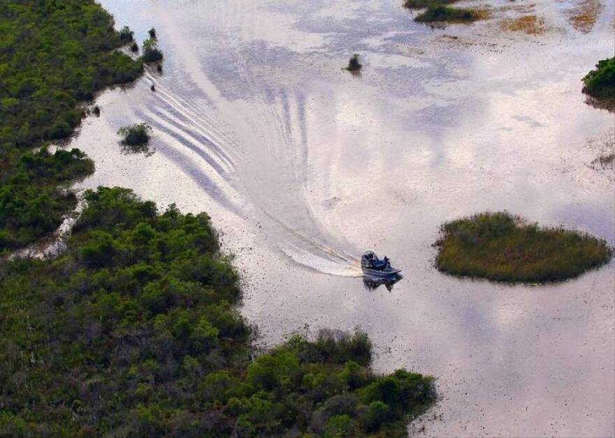
But getting to that point will take a lot of grueling, sweaty work in mangrove forests and sawgrass-slashing wetlands that cover an area bigger than Rhode Island.
That means sending field technicians into the swamps and forests with the imaging equipment to capture images of the plants that can then be used to train a computer to identify them using artificial intelligence. High-wire cameras and eventually drones and satellites could then be used to identify the plants on much larger scales, solving one of the trickiest problems in protecting the inhospitable swamps where vast swaths remain uncharted for invasive plants.
“It is really difficult to exaggerate how hard it is to work in Everglades National Park,” Flory said. “On top of heat and mosquitoes and deep water that you're trying to get through in mud, there is dense vegetation and very few roads.”
Once, while Flory and researchers were scouting out sites in a helicopter outfitted with floats, the pilot offered to land. But he couldn’t guarantee they wouldn’t sink to their waists once they hopped out.
“You could spend hours trying to make it a few hundred meters,” Flory said.

Much of the research has to be done by air. What’s not, is usually based on small plots and extrapolated to model changes. Attempts have been made to map invasive plants and other species by air, Flory said, but much of that has been done by hand.
Artificial intelligence offers a way to track species similar to follow algae blooms that get picked up by satellite imaging. And getting that information may solve another problem: convincing politicians to spend money to tackle Florida’s invasive plant problem.
“It's pretty clear that if we spent more money, especially if we got on top of problems sooner, such as after a hurricane, that we wouldn't have to spend so much money in the future,” Flory said. “It's really hard to convince a politician of that. It's more of, ‘What's the cost right now? We'll allocate money later.’”
Flory said he sometimes brings up the issue of management costs in his undergrad invasion ecology class.
“And the students are just dumbfounded,” he said. “They're like, well, that's silly. If we spend the money now, we wouldn’t have to spend it later.”
Copyright 2021 WLRN 91.3 FM. To see more, visit WLRN 91.3 FM.


