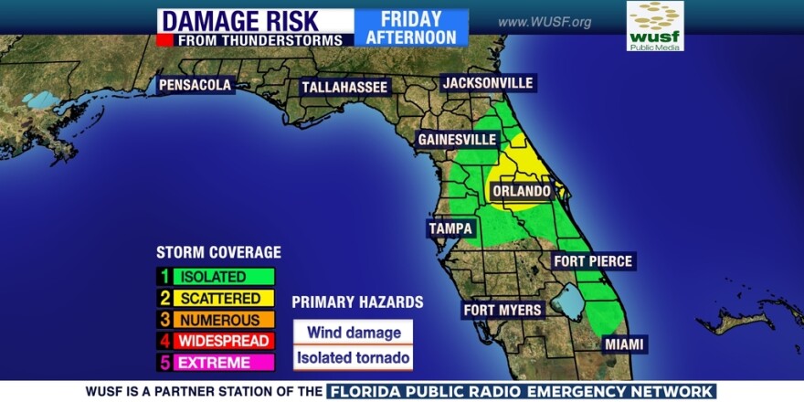
After a beautiful stretch of weather this week, the weekend doesn’t look good for outdoor plans.
A slow moving front and several disturbances moving along it will trigger multiple rounds of showers and thunderstorms through Monday.
We don’t think it will be a complete washout at this point, but there will certainly be some downpours to dodge at times over the next five days. The thunderstorm risk will be mainly confined to central Florida Friday when a weak cold front moves through.
The front will then spread north into portions of the panhandle and north Florida over the weekend.
The strongest and most widespread activity will occur Sunday afternoon and evening when an outbreak of severe weather is possible, triggering a new round of thunderstorms that might also produce wind damage and hail.


