A 'near normal' hurricane season is predicted, with 12 to 17 named storms - and five to nine hurricanes.
The last major hurricane to make a direct hit on the region’s largest city - Tampa - was more than 100 years ago. That means old housing there could be vulnerable to the next big storm. Emergency managers in Tampa and across the region worry about complacency from long-time residents, and making sure the flood of new arrivals to Florida are prepared for when a storm hits.
To help understand what's causing storms to spin up in the Atlantic and how emergency managers are using lessons learned from Hurricane Ian to help prepare for the 2023 hurricane season, host Matthew Peddie talked with:
- Bay News 9 chief meteorologist Mike Clay
- Manatee County public safety director Jodie Fiske
- City of North Port emergency manager Michael Ryan
- Tampa Fire Rescue emergency coordinator John Antapasis
Clay said there are two big factors that will have an impact on tropical storms this season.
"It's really tough this year, because there are two fighting parameters. El Niño is forming in the Pacific, which usually reduces the number of hurricanes in the Atlantic because of wind shear. On the other hand, water temperatures in the Atlantic are similar to what we've seen in some of the most active hurricane seasons on record. So we have to bookmark to extremes."
Antapasis said the fire department is adding more drones this year to help response teams see what's ahead when they are clearing the roadways.
He said the city of Tampa has some unique vulnerabilities to tropical storms.
"There are a lot of low lying areas [which] haven't been hit for 102 years. So the building stock is also older than in places such in South Florida, Broward County, Miami-Dade that did get impacts from Hurricane Andrew and Wilma and the '04, '05 storms. So I think some of that complacency in the city is something we always try to overcome with our preparedness messaging."
Clay added people may think they have experienced a hurricane, but "unless you've been through the eyewall of an Andrew or a Michael or some of these big hurricanes that have hit the state, you really don't know what a hurricane is like."
Fiske said Hurricane Ian "definitely broke that complacency for a lot of folks who had ridden out Irma and various storms since then, and didn't really think about taking an impact because they focus on the hurricane. They don't focus on the flooding that can come three to five days later."
The city of North Port also dealt with serious flooding from Hurricane Ian. Ryan said messaging about the risks posed by hurricanes can be a challenge, especially for a city with a lot of new residents.
"North Port is growing (like) crazy. Just you know, one of the fastest growing cities in the country. So we have a lot of new residents," Ryan said.
"They figure you know, if they've been through a severe storm, a thunderstorm, they think they know what a hurricane is. And a lot of people did not understand that."
He said there is a lot more interest in hurricane preparation this year, including a 50% increase in attendance at the city's hurricane expo.
"Having the occasion to sit through Ian for over seven hours of just getting battered, simply because of the path it took, and nine miles an hour forward speed, you know, it got people's attention."
Fiske said there are pros and cons to social media during a storm.
"That's a great medium to get information out to a lot of people and very quickly, but it is also the worst medium, because you're fighting misinformation from other people that are putting stuff out."
She said it's important for people to make sure they are getting information from reliable sources, including emergency managers and local media, and that they follow advice about evacuations.
"One decision based on misinformation or an assumption that you've lived through, it will have a ripple effect across hundreds of people."
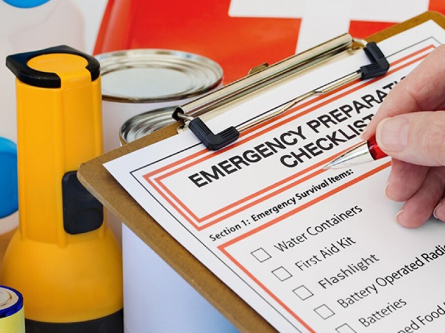
Antapasis said Tampa Bay residents should check to see if they are in an evacuation zone, plan where to go if they have to evacuate and make sure they have supplies in place well before a storm arrives.
"We see it every single storm that comes through, the shelves get empty at all our supermarkets around the city, you don't want to add that extra stress."
And Antapasis recommends signing up for emergency alerts and paying attention to trusted media sources.
The "cone of uncertainty," a graphic showing the projected path of an approaching storm, is also open to misinterpretation.
"The cone is not an impact cone, and the cone does not tell you if there's any certainty or uncertainty in the forecast. So you have to keep that in mind," Clay said.
You can listen to the full conversation by clicking on the “Listen” button above. Or you can listen on the WUSF app under “Programs & Podcasts.


