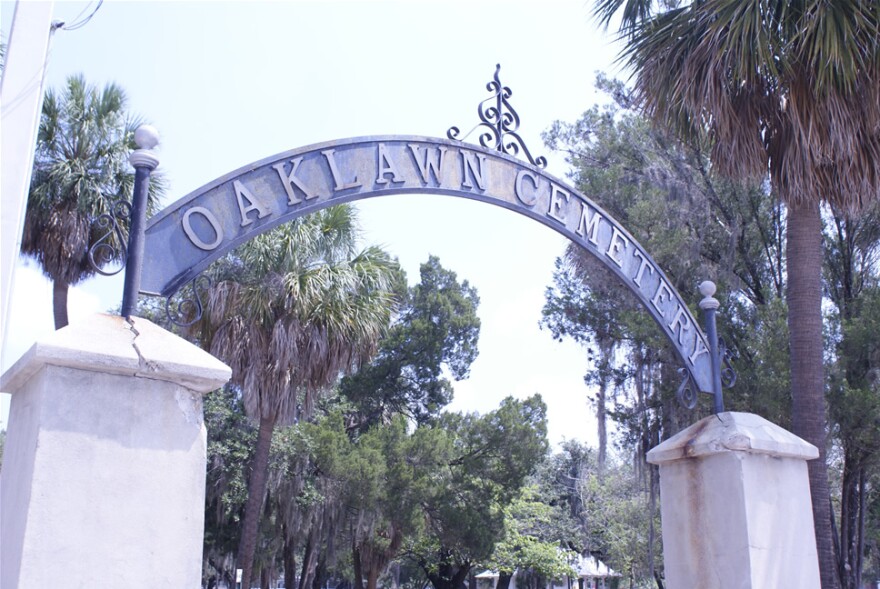
Anyone walking along Harrison Street in downtown Tampa for the next several weeks may notice people surveying Oaklawn Cemetery with strange equipment.
The researchers are from the University of South Florida Department of Anthropology, and they’re using gradiometers - devices used to measure small changes in the magnetic field that are caused by hidden anomalies in the ground - and ground-penetrating radar to create a digital database of the historic cemetery.
USF is partnering with the City of Tampa for the project, which officially begins Friday. The first few hours of the work, from to 2 to 4 p.m., are open to the public for viewing. Oaklawn Cemetery is located at 606 E. Harrison Street.
Jeff Moates is Director of the West Central Regional Center of the Florida Public Archaeology Network, which is based at USF. He says the research will allow the city to preserve the cemetery, created in 1850 as Tampa’s first public burial ground.
"Ultimately, what they want to do is create a master management plan for the cemetery, so that [the plan] can kind of live on into the future and they can provide proper care and management for the cemetery,” he explained.
Tampa officials are considering potential plans to rehabilitate the cemetery’s Sexton House, where caretakers used to store their tools.
“All of this will work in concert to create a management plan so [the city] knows where things are at,” Moates said. “So should there be any activities that might disturb the ground, they have a pretty good idea of where to avoid and what not to do in certain areas.”
Moates expects that the surveying will reveal “lots of gravestones, lots of headstones,” but they may find the unexpected.
“In a historic cemetery like Oaklawn, there’s also a possibility of unmarked graves. That’s why we’re conducting the geophysical survey…to see the potential of recognizing some of those features and where they might be located,” he said.
The radar equipment will allow the team to map under the ground without disturbing any graves.
"There will be no ground-disturbing activities as part of our research. We know we're in a cemetery and if there's a…good signal, it's pretty clear it might be an unmarked grave,” he said.
Moates hopes the database will be available to the public for viewing once it is complete.
“We hope to be able to publish it in a public format,” Moates said. “We haven’t figured out where exactly, but we want to make the resource and the data available to the public so they can see as well.”
The USF researchers are glad to be working on the project with city officials.
“It’s really great to see the effort to preserve this really unique place,” he said.


